Mapping accelerating fencing processes in the Greater Mara II
Working Title
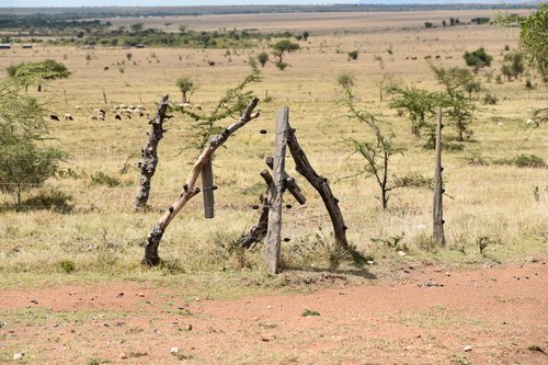
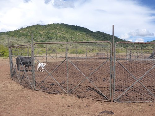
Last year, we published the first part of this work in Scientific Reports, based on satellite images from 1985 to 2016 (Løvschal et al. 2017). We are currently working on updating the maps with particular attention to land coverage, the speed of the fencing, and its expansion in relation to conservancy areas; in order to enhance our understanding of the implications of fencing for both the present and the future.
People involved:
Associate Professor Mette Løvshal, Aarhus University
PhD, Executive Director, Irene Amoke, Kenya Wildlife Trust
GIS expert Peder Bøcher, Aarhus University
Professor Jens-Christian Svenning, Aarhus University
Reference:
Mette Løvschal, Peder Klith Bøcher, Jeppe Pilgaard, Irene Amoke, Alice Odingo, Aggrey Thuo & Jens-Christian Svenning
Fencing bodes a rapid collapse of the unique Greater Mara ecosystem
Scientific Reports volume 7, Article number: 41450 (2017)

